

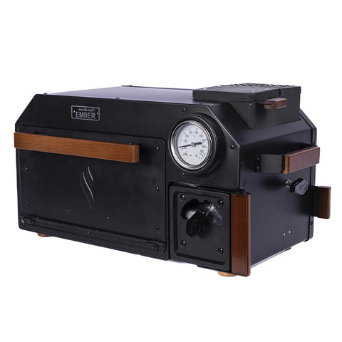
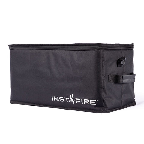
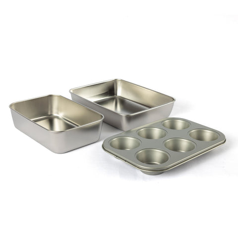
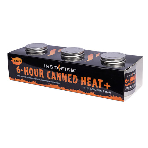
Confidence Born of Preparation
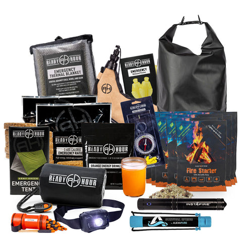
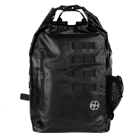
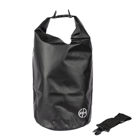
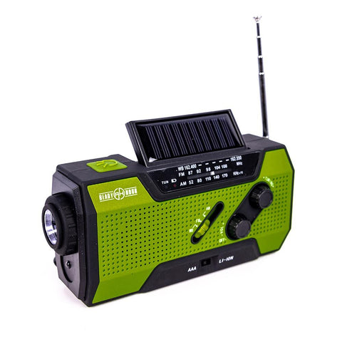
Improvise, Adapt and Overcome any Crisis Situation. There's nothing worse than arriving at the campsite or facing an emergency without the right gear. Being prepared is ensuring you have the best camping equipment, food storage, survival kits and medical supplies.


Subscribe to our Newsletter
Promotions, new products and weekly sale newsletter delivered to your inbox.